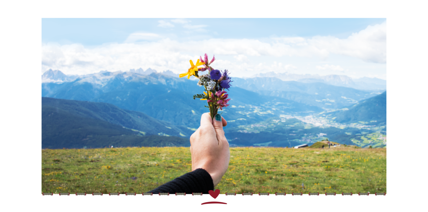
Alpine meadows and panoramic views
explore the Gitschberg Jochtal alpine region in summer!

Up on the GITSCHberg
Summer on the Gitschberg – nature pure and simple
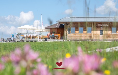
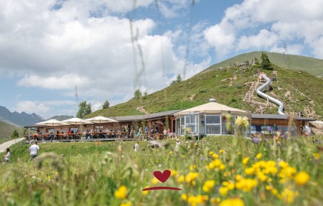
The Gitschberg offers countless opportunities to explore the surrounding mountain world. The GITSCHhütte is the ideal starting point for hikes and mountain tours on foot, as it is located directly on the Almhüttenweg (Alpine Hut Trail). You can reach us comfortably by cable car to the mountain station (the lifts are also open in summer) and from there you can walk along the pushchair-friendly forest path or the specially created adventure trail in just 15 minutes. Children will be all smiles, because we now have – NEW 2025 – a beautiful, large playground!
You can reach us on foot or by mountain bike from Meransen (approx. 12 km distance and 800 metres of altitude difference) but also from the Kiener Alp, via the Kleine Gitsch or the Altfasstal Valley.
Our hut is situated in an excellent location and is the ideal destination for families, mountain-lovers and fans of alpine meadows as well as the perfect starting point for challenging mountain hikes for summitless of all levels of ability, as well as for mountain runners.

Fly like a bird
Pure adrenaline on a tandem paragliding flight:
Fortify yourself at the GITSCHhütte and then enjoy a tandem paragliding flight with our state-certified tandem pilots. Feel the freedom without limits and experience the beauty of our holiday region from the perspective of a South Tyrolean bird.
Our hiking suggestions for you
The following hikes are
all accessible from the GITSCHhütte:
Gitschberg cable car mountain station – Gitsch
Gitschberg mountain station – marker 12 – Gitschhütte – south ridge of the mountain – to the Gitschberg summit – panoramic platform.
Duration: 1 hr 20 min
Distance: 2 km
Altitude difference: 408 m
Start: Gitschberg cable car mountain station
Destination: Gitsch
Other hikes starting from the GITSCHhütte
On the Gitschberg (2,510 m, Trail 12)
On Kleiner Gitsch (2,262 m, Trail 6,12)
To the Kiener Alp (Trail 12)
To Meransen (to the Bacherhütte or the Möserweg 12A)
To the Seefeld lakes and in to the Altfasstal Valley (Trails 6 and 12A)